
 Tools & Resources
There are 19 beautiful Districts, or "Villages", in Guam. Each Village has its wonderful, unique attributes.
Guam’s Villages
Guam’s Villages
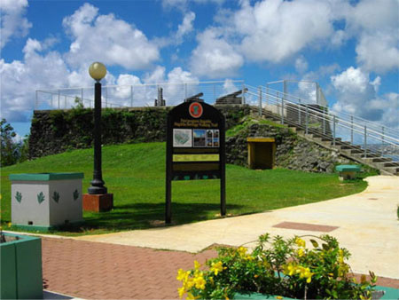
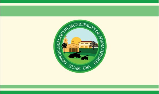
AGANA HEIGHTS
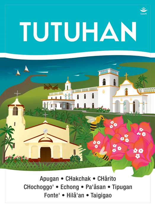
Tutuhan
Village signage artwork by artist, Maria Cristobal Calori.
AGANA HEIGHTS
Tutuhan
Agaña Heights is located in the central part of the island. It is part of the Kattan (Eastern) District. The village derives its name from two words “Tutuhon luhan”. “Tutuhon lujan” means someone who becomes scared because of impending doom or is terrified about something. Agaña Heights was a ranchland long ago and those who ranched in this area were villagers from Hagåtña. It was said that there were no trails on Agaña Heights and the only access was for ranchers to climb the steep cliffs along the perimeter of the village. The only way to get to and from Agaña Heights was through the steep cliffs and often ranchers stood at the top of the cliff and surveyed the long climb down and as they did, they would experience a feeling of fear as they contemplated the precariousness of the situation.
Street Address:
184 Chalan Macajna
Street Address:
184 Chalan Macajna
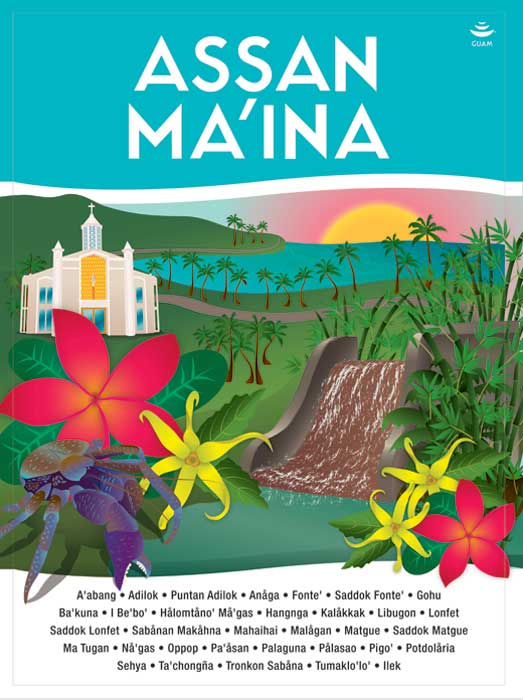
ASAN-MAINA
Assan-Ma’ina

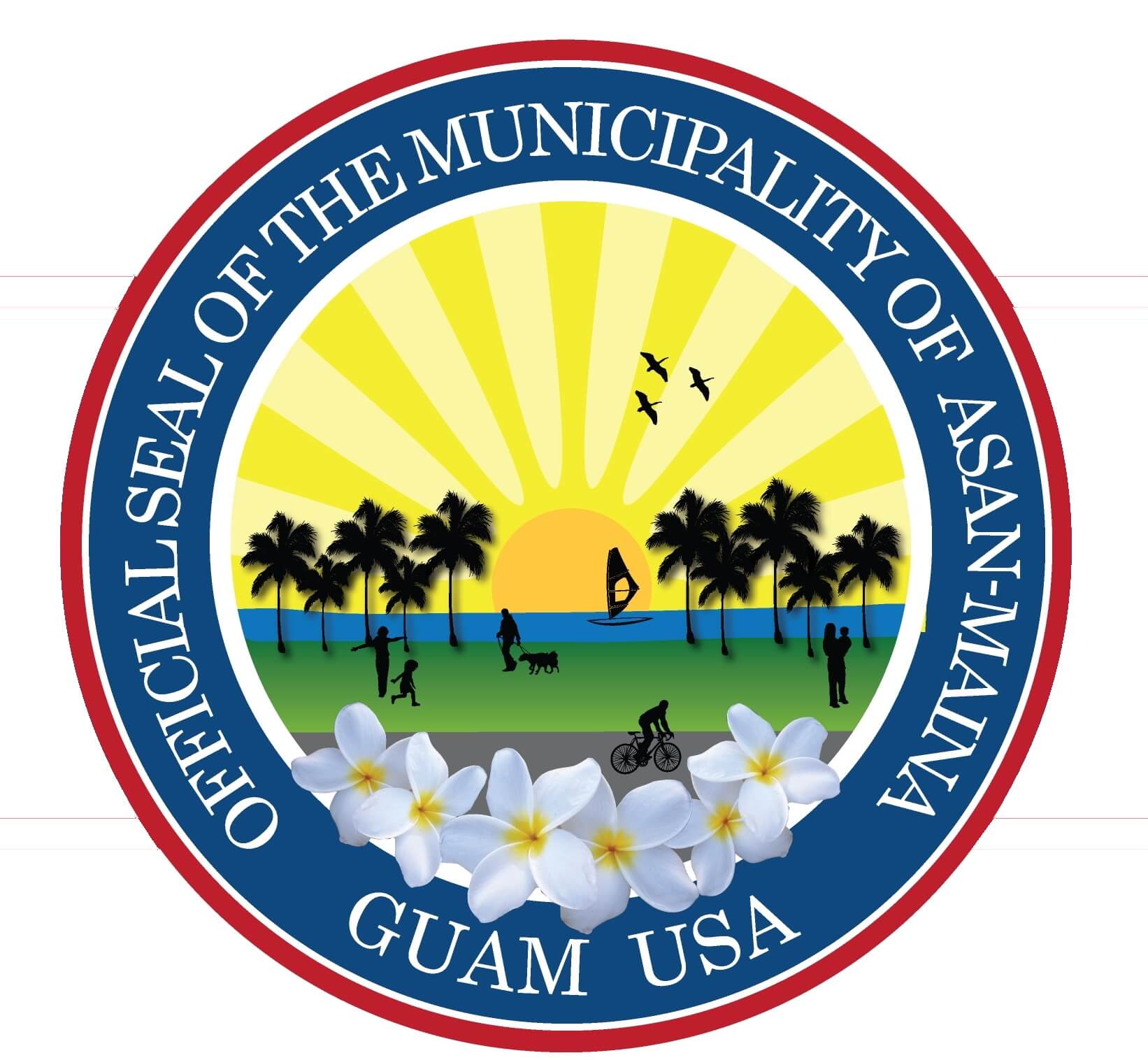
Village signage artwork by artist, Maria Cristobal Calori.
ASAN-MAINA
Assan-Ma’ina
Asan (Hassan) and Maina are located in the southern-central side of the island. This area is part of the Luchan (Western) District. This village derives its name from the word "hassan". "Hassan" means scarce or rare. The word "ma'ina" refers to the other village that makes up this district together with Asan. Hunters hunted by the light of a torch and also saw what they caught by the light of the same torch. Another meaning of the word "ma'ina" deals with an infant who between the times of his birth to his baptism, is taken by his mother to a church mass before sunrise; this ritual considered the presentation of the child to the temple or church.
Street Address:
141 Nino Perdido Drive, Asan
Street Address:
141 Nino Perdido Drive, Asan
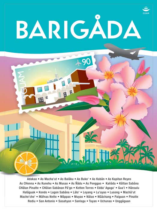
BARRIGADA
Barigåda
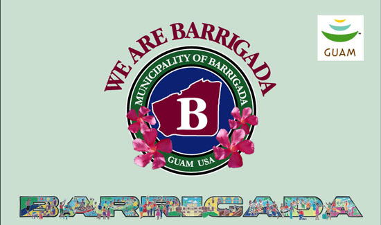
Village signage artwork by artist, Maria Cristobal Calori.
BARRIGADA
Barigåda
The village of Barrigada is located in the northeastern part of the island. It is part of the Kattan (Eastern) District. Barrigada owes its name to a Chamorro legend. When the god Puntan was about to die, he instructed his sister Funa how to dispose of his body. He said that his eyes were to become the sun and the moon; his eyebrows, the rainbow; his breast, the sky and his back, the earth. Barrigada means, “flank.” Looking down from atop Mt. Santa Rosa, the island resembles a man lying on his back with his flank being the most noticeable.
Street Address:
124 Luayao Lane
CHALAN PAGO-ORDOT
Chålan Pågu-Otdot

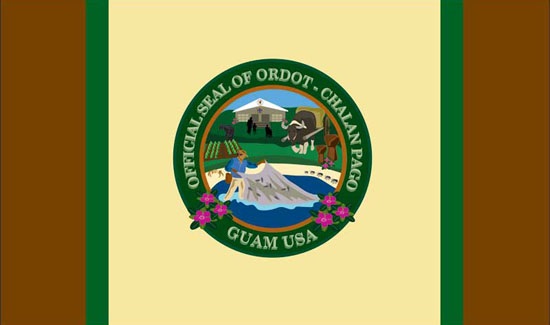
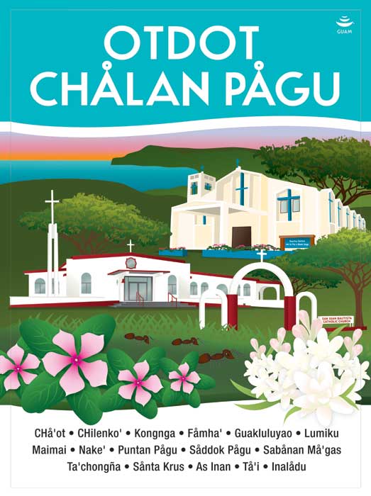
Village signage artwork by artist, Maria Cristobal Calori.
CHALAN PAGO-ORDOT
Chålan Pågu-Otdot
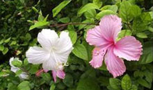
Chalan Pago-Ordot village is located in the eastern-central part of the island. It is part of the Kattan (Eastern) District. The word “chalan” makes up the first part of this village name. “Chalan” means road or street and in olden days, paths or trails. The word “pago” makes up the second part of this village name. “Pago” is the wild hibiscus tree that grows in abundance in this area. “Ordot” means ants. Both ants and hibiscus trees can be found in abundance throughout this beautiful village.
Street Address:
160 Chalan Huego,
Chalan Pago, Guam 96910
DEDEDO
Dededu

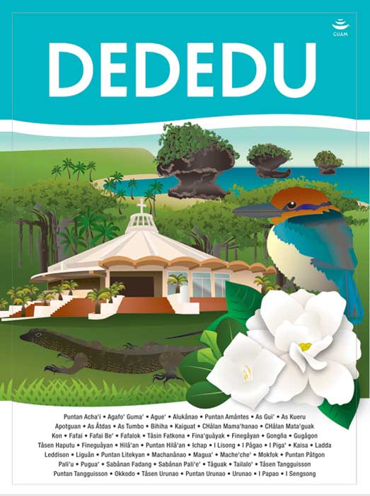
Village signage artwork by artist, Maria Cristobal Calori.
DEDEDO
Dededu
Dededo is located at the north central part of the island where most of the population on Guam presently centers. It encompasses an area of about 30 square miles of Guam’s 212 miles. The word Dededo comes from a system of measurement using the fingers in which each finger signifying an inch. So as one measures “one inch, two inches, three inches” the name Dededo was derived the measurement of two fingers indicating two inches. There is another word that could possibly give this village its name. The word “dedeggo” means a person who walks on tiptoes so as not to wake up those who are sleeping. It is not clear whether Dededo got its name because someone long ago measured the place with his/her fingers or the people habitually walked on tiptoes.
Street Address:
335 Iglesias Circle
HÅGAT

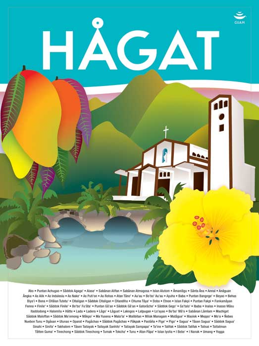
Village signage artwork by artist, Maria Cristobal Calori.
HÅGAT
Hågat village is located on the southwestern side of the island. This area is part of the Haya (Southern) District. Old Hågat was built between 1680 and 1684 and was designed by the ruthless Spanish Governor Don Jose Quiroga as a settlement for rebellious islanders whose homes had been destroyed. Many of its first citizens were brought from the interior village of Fena, which had also been wiped out. In July of 1944, the village of Old Hågat was totally destroyed by the American invasion. After the war, new Hågat sprang up in a location further south and is one of the villages in the south that is now experiencing development and commerce.
Street Address:
393 Route 2
Street Address:
393 Route 2
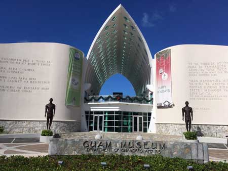
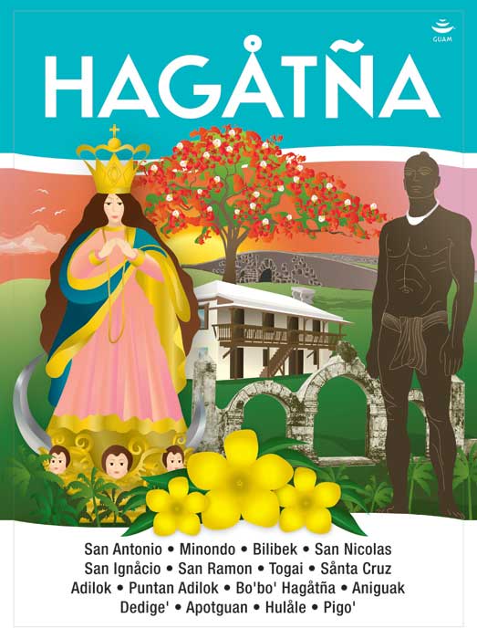
HAGÅTÑA
Village signage artwork by artist, Maria Cristobal Calori.
HAGÅTÑA
Hagåtña is the capital of Guam. It is located in the center of the island and part of the Kattan (Eastern) District. The village derives its name from the word “haga”. “Haga” means blood and that this village came about due to the bloodlines of families and relatives that helped establish this village. Hagåtña became a village when the Spaniards decided that the area be the capital of the island. Hagåtña is where you find places named after the saints, as the city is also the seat of the island’s religion – Catholicism. The three branches of government: Judicial, Legislative, and Executive are located here. Also, it is the center of all commercial activities with legal offices, banks, department/variety stores, insurance, technical and professional services and recreation facilities.
Street Address:
236 East O’Brien Drive
Street Address:
236 East O’Brien Drive
HUMÅTAK
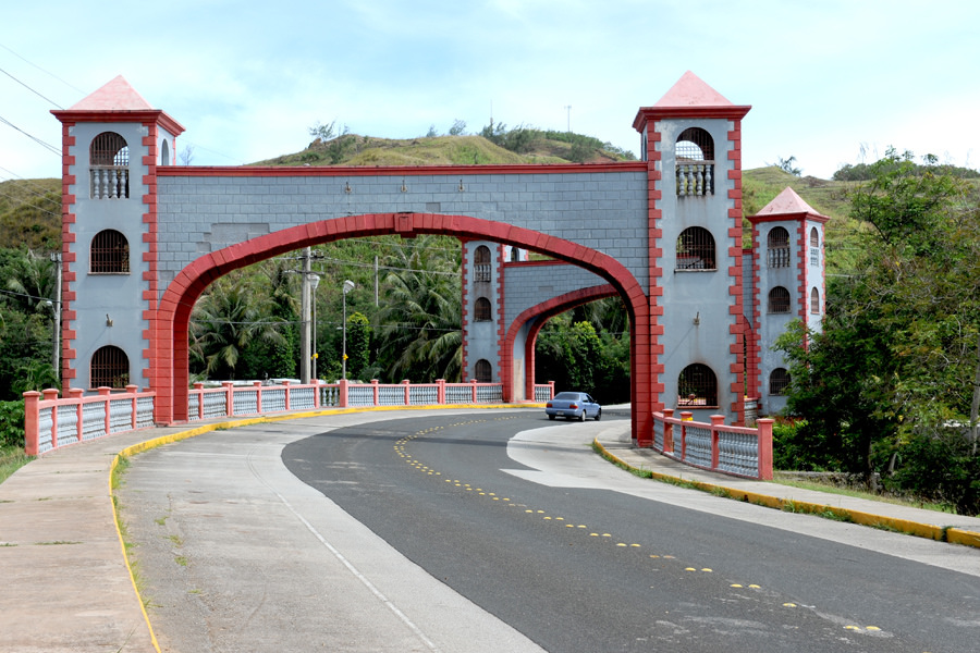
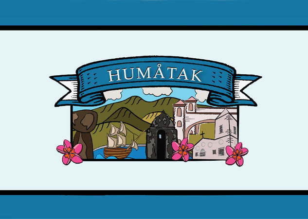
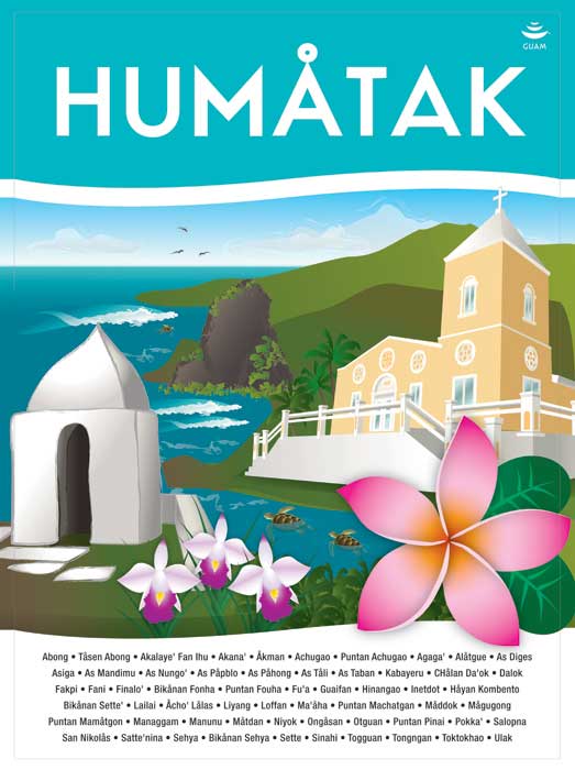
Village signage artwork by artist, Maria Cristobal Calori.
HUMÅTAK
The village of Humåtak is located in the southwestern side of the island and is part of the Haya (Southern) District. This village derives its name from the word “uma”. “Uma” means to carry something on the back or a heavy load on the shoulders. Humåtak is the smallest and second oldest of Guam’s villages after Inalåhan. This is the village that Ferdinand Magellan is alleged to have visited and it was through his escapades with the villagers that led him to rename Guam, the “Island of Thieves.”
Street Address:
159 San Dionisio Street
Street Address:
159 San Dionisio Street
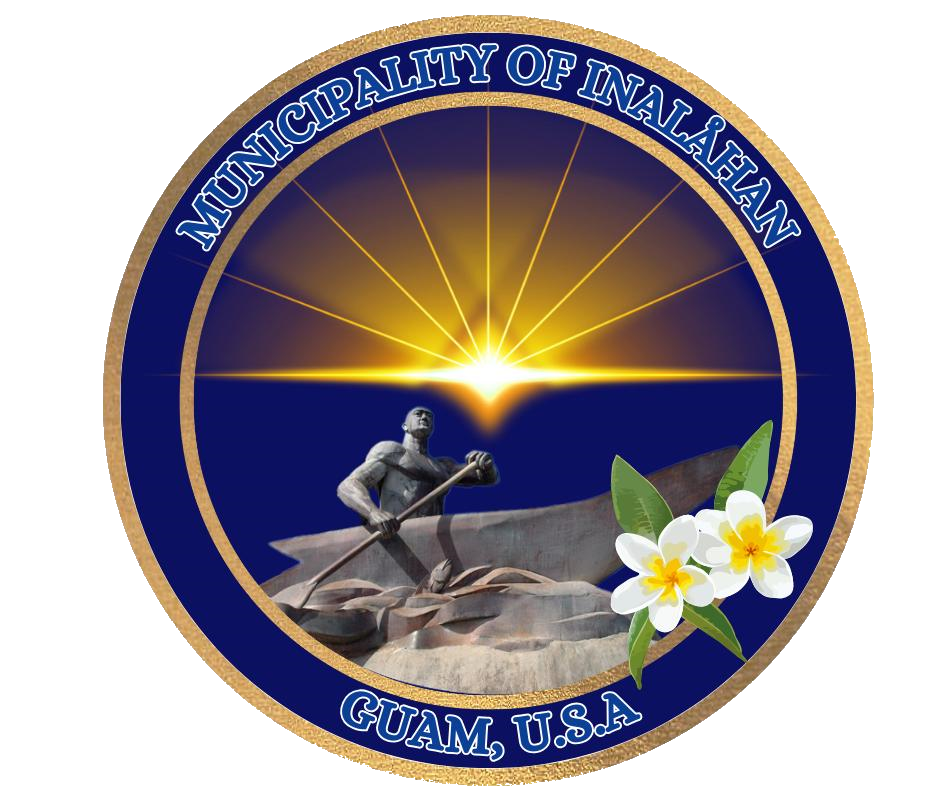
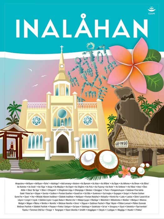
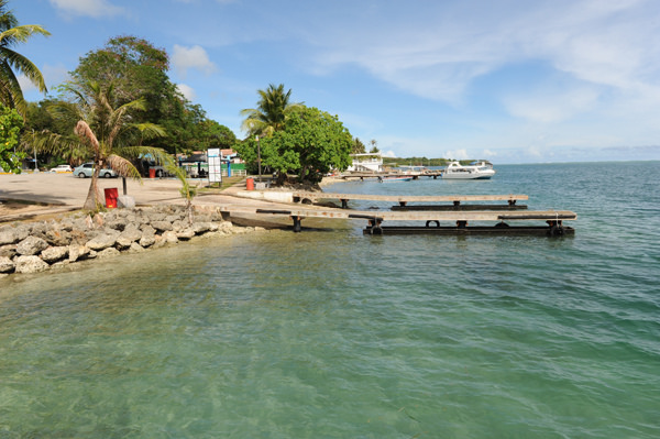
INALÅHAN


Village signage artwork by artist, Maria Cristobal Calori.
INALÅHAN
The village of Inalåhan is located on the southeastern side of the island and is part of the Haya (Southern) District. This village derives its name from the word Halla. Halla means to pull something or move something with a rope tied to it. Another word that may give meaning to the village name is the word Halla. This word refers to a kind of large woven coconut basket used for storage of fish or vegetables.
Street Address:
719-C San Jose Avenue
Street Address:
719-C San Jose Avenue
MALESSO’
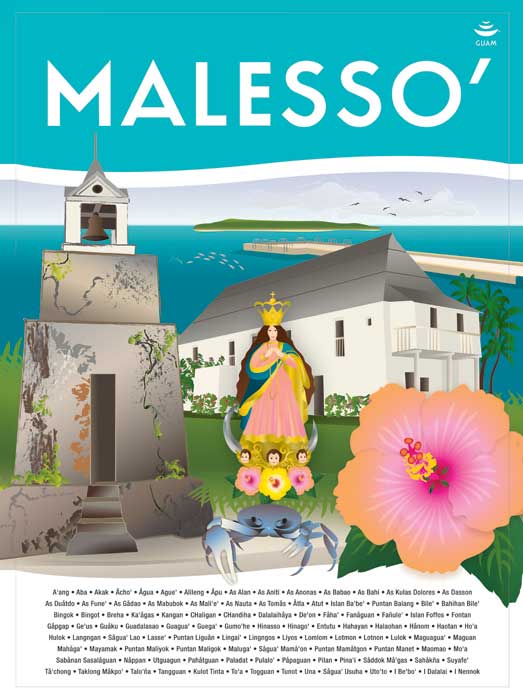
Village signage artwork by artist, Maria Cristobal Calori.
MALESSO’
The village of Malesso’ is located on the southern tip of the island and is part of the Haya (Southern) District. The village derives its name from the word “lesso”. “Lesso” is the next growth size of the juvenile rabbit fish locally known as “manahak” and these were caught at the mouth of the bay of that village. Malesso’ is the southernmost village where one can ride a boat to a smaller island known today for its recreational and resort facilities – Cocos Island. This small historic village was home of the ancient Chamorros who lived along the shores of the bay and fished for a living in the abundant sea, especially full of “lesso”, which gave the village its name.
Street Address:
440 Joseph A. Cruz Street
Street Address:
440 Joseph A. Cruz Street
MANGILAO

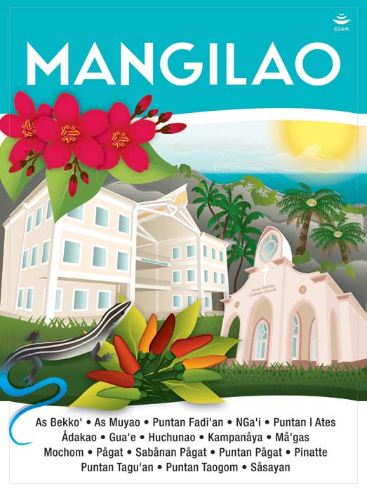
Village signage artwork by artist, Maria Cristobal Calori.
MANGILAO
The village of Mangilao is located in the eastern part of the island and is part of the Kattan (Eastern) District. This village derives its name from the word "ilao". "Ilao" means to look for something or to search for something. Hunters or fishermen went to this area to fish or to search for crabs, deer or wild pigs. Mangilao is the center of higher education on Guam with both the University of Guam and the Guam Community College. Rapid development in this village has made it quite populated, as it is now the home of many Micronesian islanders who have chosen to migrate to Guam. The island prison facilities for juvenile offenders and convicted criminals are located here as well as the Government of Guam's Agricultural station and the experimental station for seafood harvesting under the Government's Commerce Department.
Street Address:
105 Commissioner Way, Route 10
Street Address:
105 Commissioner Way, Route 10
MONGMONG-TOTO-MAITE
Mongmong-To’to-Maite’
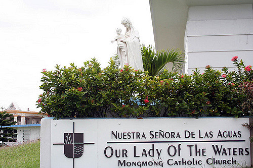

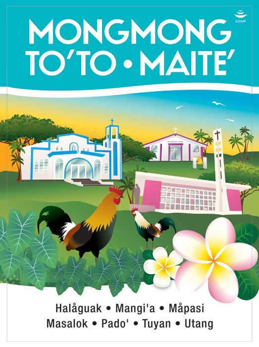
Village signage artwork by artist, Maria Cristobal Calori.
MONGMONG-TOTO-MAITE
Mongmong-To’to-Maite’
The first of three villages combined into one derives its name from the word “momongmong”. “Momongmong” comes from the sound of a heartbeat but through word evolution came out to “mongmong”. The second village derives its name from the word “to to”. “To to” means to lie or recline on one’s back. The third village derives its name from the word “ma ette”. “Ma ette” means to nudge or touch another person usually accidentally with your hands or with some part of your body.
Street Address:
Bldg. 226 Aragon Street, Toto
Street Address:
Bldg. 226 Aragon Street, Toto
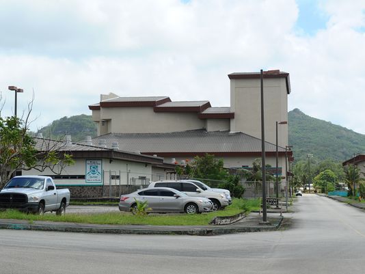
PITI

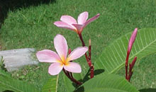
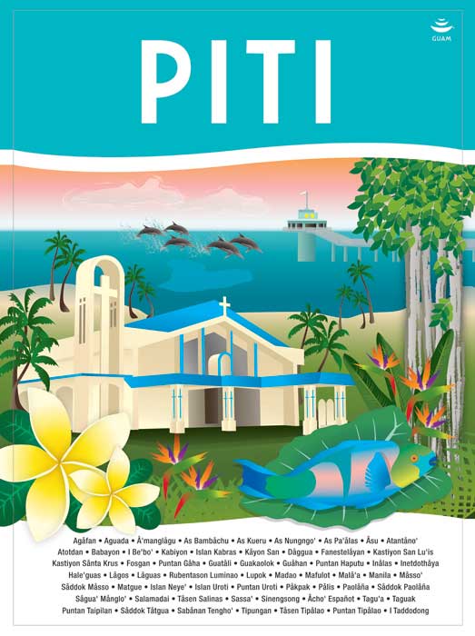
Village signage artwork by artist, Maria Cristobal Calori.
PITI
The village of Piti is also known as “The Port City”. This village derives its name from the word “puti”. “Puti” means pain either through a sore, disease, illness or through physical or emotional pain. Piti is approximately two miles in length and width. A number of historical sites are situated within the village.
Street Address:
260 Assumption Drive
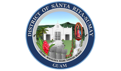
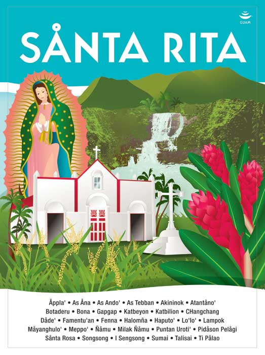
SÅNTA RITA-SUMAI
Village signage artwork by artist, Maria Cristobal Calori.
SÅNTA RITA-SUMAI
Sånta Rita-Sumai is located on the southwestern side of Guam and is part of the Haya (Southern) District. This village does not have an original name because it was established in 1945 when residents were moved from the destroyed Sumay village. "Sånta Rita-Sumai" is the patron saint of abused wives. It is not clear how the name was decided upon, nor for what reason the name was chosen when the village was established.
Street Address:
183 A.B. Won Pat Lane
Street Address:
183 A.B. Won Pat Lane
SINAJANA
Sinahånña
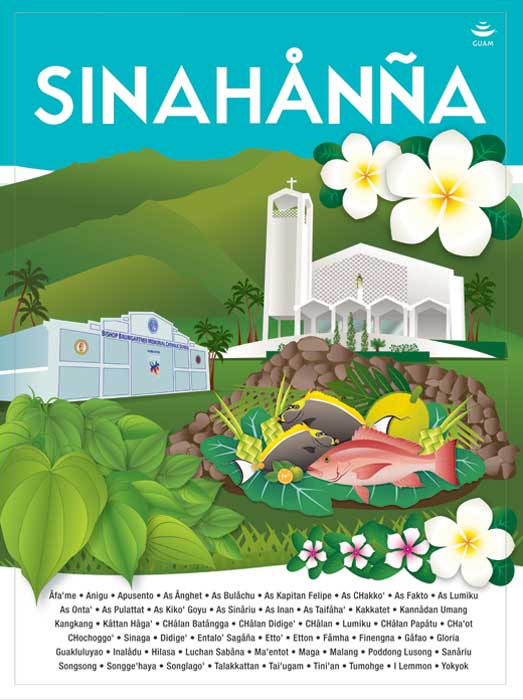
Village signage artwork by artist, Maria Cristobal Calori.
SINAJANA
Sinahånña
The village of Sinajaña is located in the central part of the island and is part of the Kattan (Eastern) District. Sinajaña overlooks the central parks of Guam and sits atop of Hagåtña. The village derives its name from the word “chinahan”. “Chinahan” means the method of baking wild yams in the dirt. The “ña” at the end of the village name “Sinajaña” refers to the people who helped in the baking process.
Street Address:
117A Chalan Guma Yu’os
Street Address:
117A Chalan Guma Yu’os
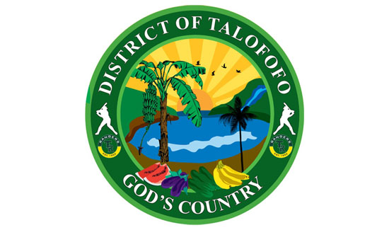
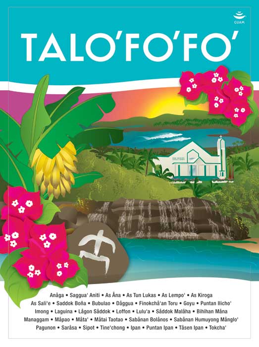
TALO’FO’FO’
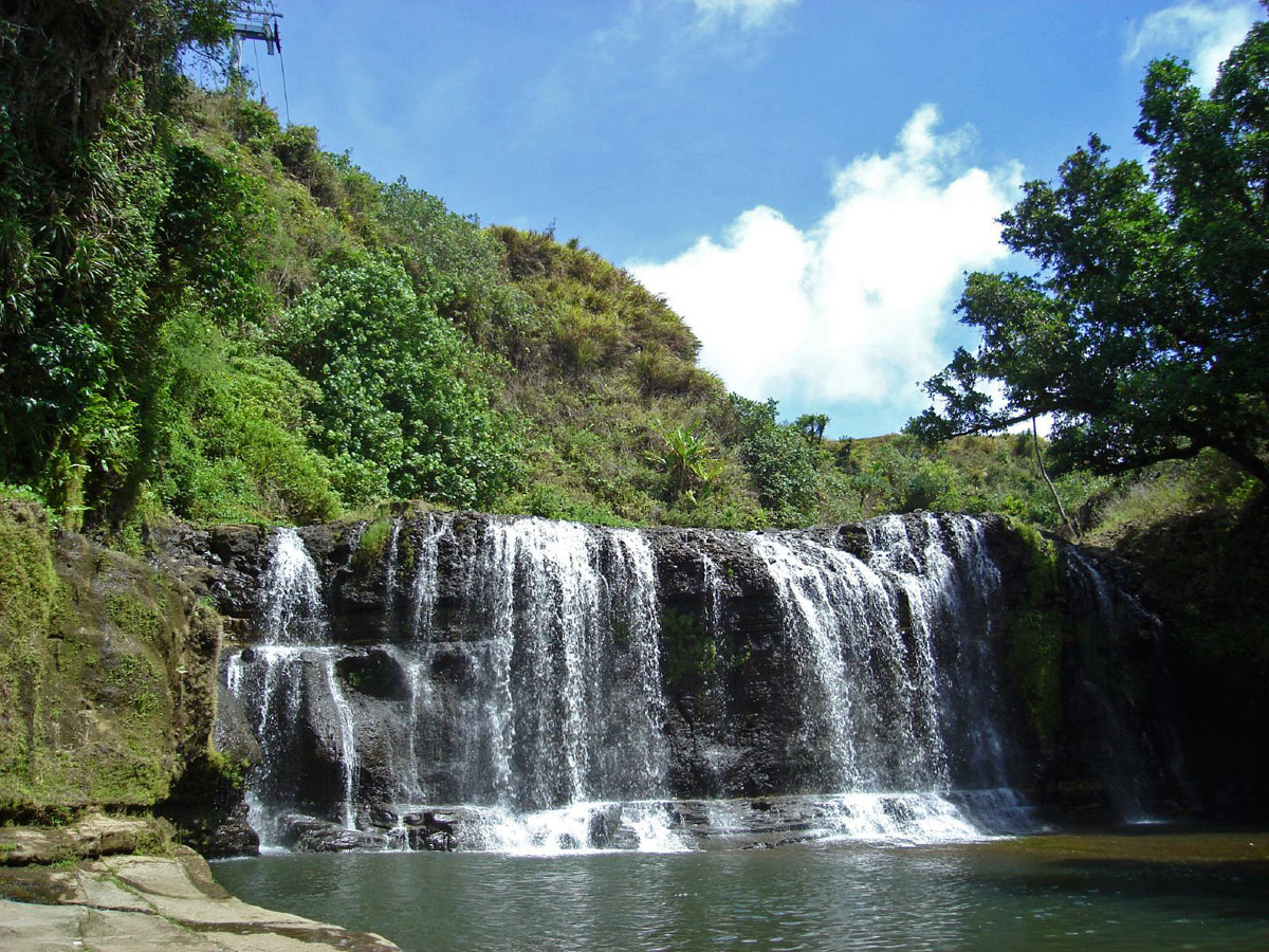
Village signage artwork by artist, Maria Cristobal Calori.
TALO’FO’FO’
The village of Talo’fo’fo’ is located in the south eastern side of the island and is part of the Haya (Southern) District. This village derives its name from the saying "entalo' I fe'fo"."Entalo' I fe'fo" means between the cliffs where this place is situated and surrounded by cliffs. It is possible that another word gave this village its ending name. The word 'fo'fo"means a bubbling spring. Because the Talo'fo'fo River and the Talo'fo'fo Falls are located in this village, the name could possibly mean between the bubbling springs.
Street Address:
184 North San Miguel Street
Street Address:
184 North San Miguel Street
TAMUNING-TUMON-HARMON
Tamuneng-Tomhom
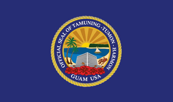
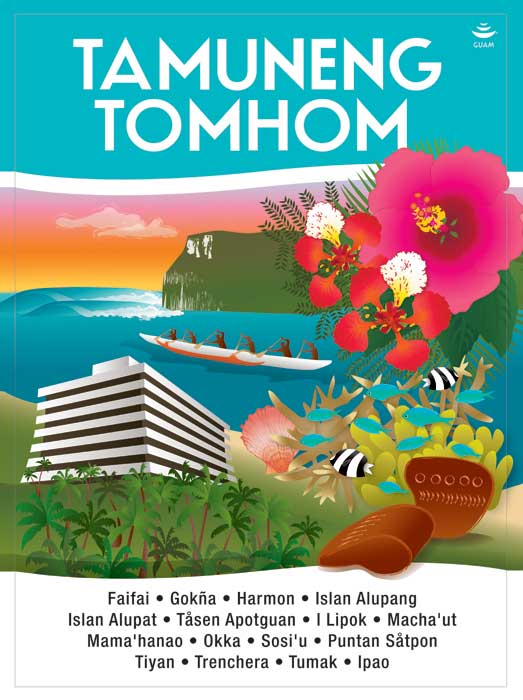
Village signage artwork by artist, Maria Cristobal Calori.
TAMUNING-TUMON-HARMON
Tamuneng-Tomhom
There are two Carolinian stories that relate to how this village derives its name. First, there was a Carolinian Chief named Tamuning who was brought over from Ulul Atoll in the Caroline Islands. The second came from a Carolinian word “Tamuning” which is the movement of people from Apotuan on to the area where a cotton plantation was run by an individual named George Johnston. Mr. Johnston was an American businessman who married a Spaniard woman and was permitted to grow cotton in what is now Tamuning. The second village drives its name from the saying “ti apmam homhom” which means it is getting dark and refers to hunters and fishermen who walk from southern Guåhan to fish or hunt in this place and by the time they get there it is nearing darkness.
Street Address:
120 Tun Jesus Crisostomo Street, Tamuning
Street Address:
120 Tun Jesus Crisostomo Street, Tamuning
YIGO
Yigu

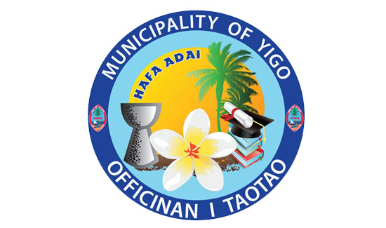
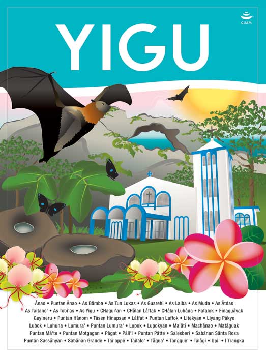
Village signage artwork by artist, Maria Cristobal Calori.
YIGO
Yigu
This village derives its name from the word "yugu". "Yugu" means the frame placed over the neck of a carabao and harnessed to a cart. Yigo is the island's northernmost village. The soil is rich for coffee, cocoa, pineapples, oranges and tangerines, which grew in abundance before the war. This village also produced chocolates, which were then transported to Hagåtña where they were served to visitors in the Chocolate House of the Governor's palace. Yigo also has many Ifil wood trees, the hard wood used to make the yoke of the carabao and oftentimes the construction of the carabao cart.
Street Address:
Bldg. 274 Gayinero Drive
Street Address:
Bldg. 274 Gayinero Drive
YONA
Yo’ña
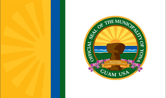
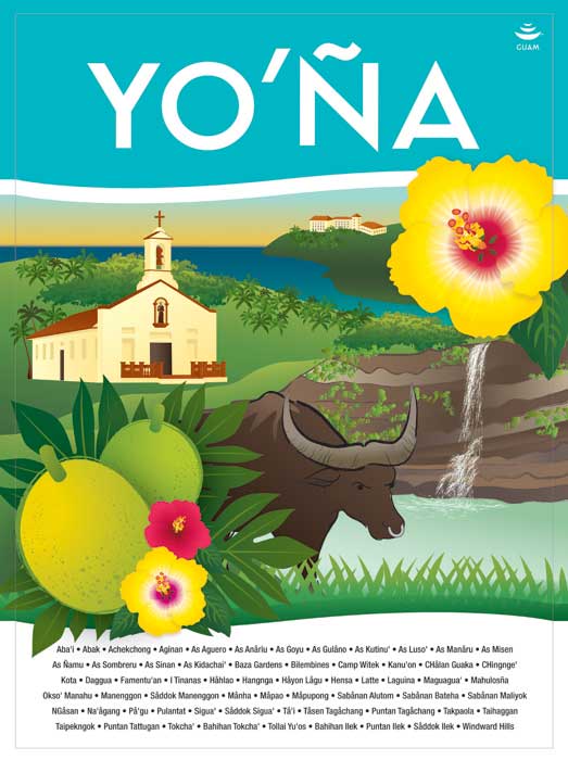
Village signage artwork by artist, Maria Cristobal Calori.
YONA
Yo’ña
The village derives its name from the word "iyo-'a. Iyo-a" means the possession of something be it material things, personal items, or spiritual ownership. Yona is located on the southeastern side of the island and is situated on a plateau overlooking the Pacific Ocean and is part of the Haya (Southern) District. Yona is well known to islanders because of Menenggon, the infamous concentration camp where the Japanese imprisoned the Chamorros before the American invasion. This village follows the village of Sinajaa where development in the form of Urban Renewal created what is Yona today.
Street Address:
265 Sister Eucharita Drive
Street Address:
265 Sister Eucharita Drive